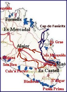
Starting up with a new trip - we are going farther and farther.
This time the blue line on the map, to Cap de Faváritx.
Cap de Faváritx is pronounced I am sure, but I don't know
how.
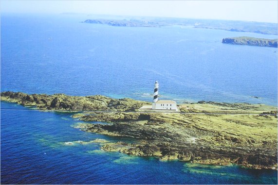
Far de Favaritx (Cap de Favaritx) lies on the eastern coast of Menorca.
This is dramatic, isolated and rugged terrain, at the end of a peninsula
far
removed from the hotels and beach resorts found elsewhere on the
island. The farehouse was built a few years after they got one at
the
most northern peninsula, at Cap Cavalleria. Then the boats from
France going south to Africa began looking for that one, then turned
east
and rounded the island, except that when they passed Cap de Favaritx,
they hit the rocks and went down. So after having a dispute with
the
owner of the land here, they finally were allowed to build a new
farehouse here, and the ships could get around unharmed.
Coming
out here is just like coming to the moon. So deserted and rocky.
Way back to the
right you can spot the highest mountain on the island,El Tori, 358m
asl.
Ulldepeix's photostream, Flickr.com
Another day, we wanted to see how it was over at Alaior again, and
took the Cami en Kane from Mahon, just as we did in March.
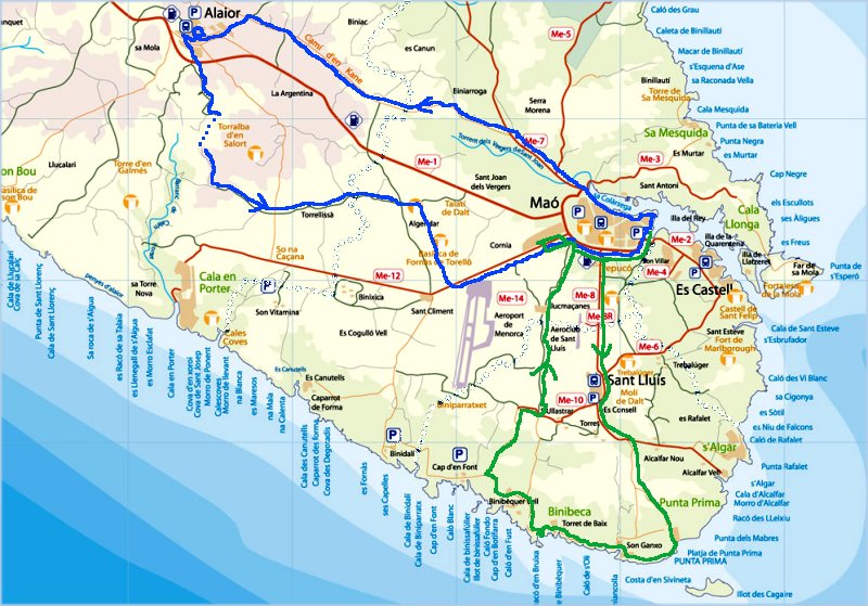
This trip followed the blue line on the map, first up Me7, and then
Cami en Kane westward to Alaior. There we had some difficulties
finding the right way, but a helpful policeman gave us a streetmap
and pointed out where we should have gone. That made it.
From Alaior we finally made it southwards, on a small narrow road
with only little traffic. No wonder. Suddenly there was no more
road to go.
But again one of those helpful Menorcians showed us on the map,
and also let us follow his car some hundred meter, to a small path
leading downward behind a small farm. We didn't notice that one
when we first passed by. And down we went. Yes, we went -
as we had to walk with our bicycles. Why? Take a close look on the
next picture, and you will understand.
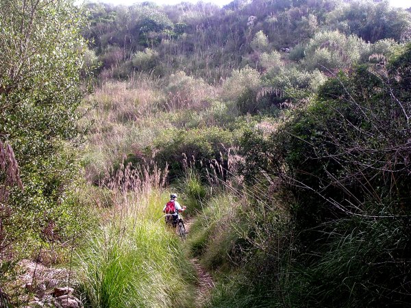
Having passed this 'jungle', where the path curved up and down,
we came to a small road again, where we could use our bicycles.
But we were in for new surprises, as we look over the stonewall
on one side of the road.....
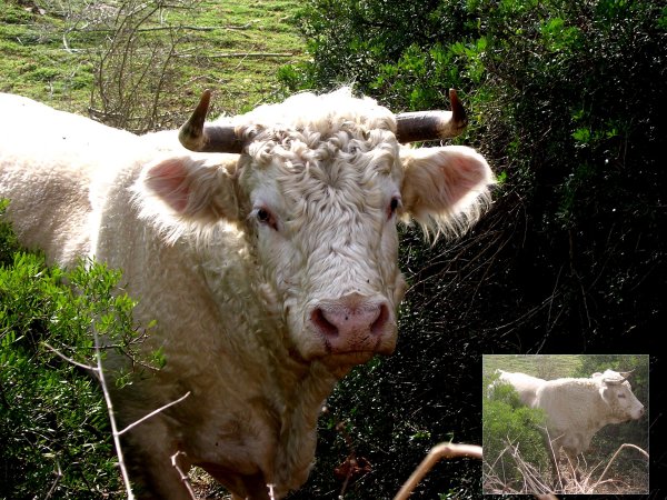
We came just a little too narrow - but luckily far enough from this
bull.
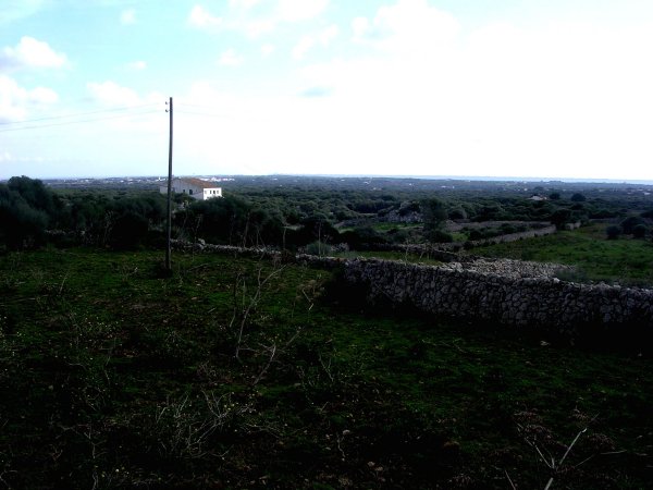
From up here on the plain, you can see the ocean to the right, and
the city of Sant Climent behind the white house.
The picture is taken not so far away from Torrellisa.
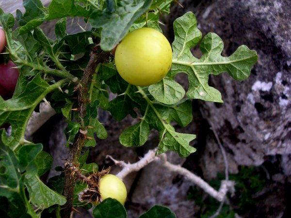
Soon after we spotted this fruit on a small bush. Still don't knopw
what it is.
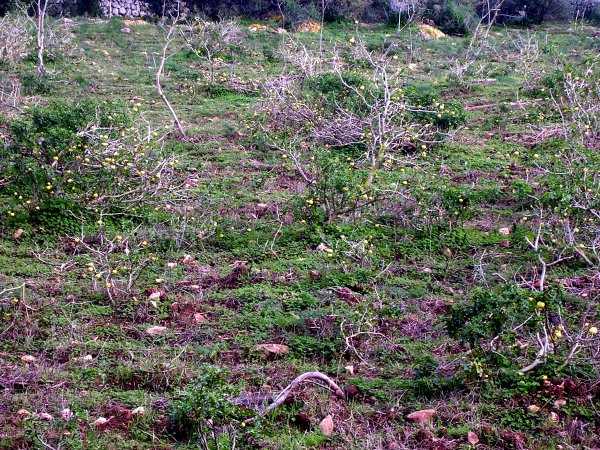
But behind the stony wall we could see a whole field of these bushes
with fruits. Must be useful for something (?).
So while looking over here, we heard someone laughing at us, behind
us.
Took a while before we found out who that was:
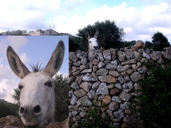
See how he is laughing at us - or does he just smile now?
Off for a new trip few days later:
This time we followed the green line on the map.
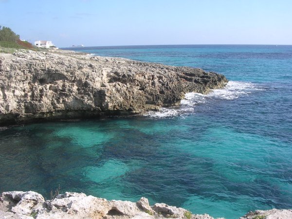
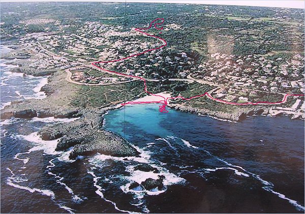
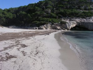
This the trip was to the south coast. First stop was Punta Prima,
where we saw the lighthouse outside again from shore.
Not far from there, was a small cala, picture above, and in the
bottom of it.....
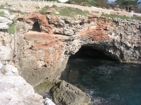
a small cove. Not easy to find a place to go out into the very clear
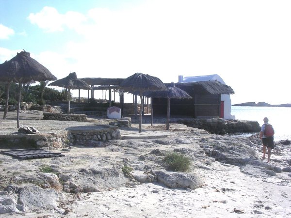
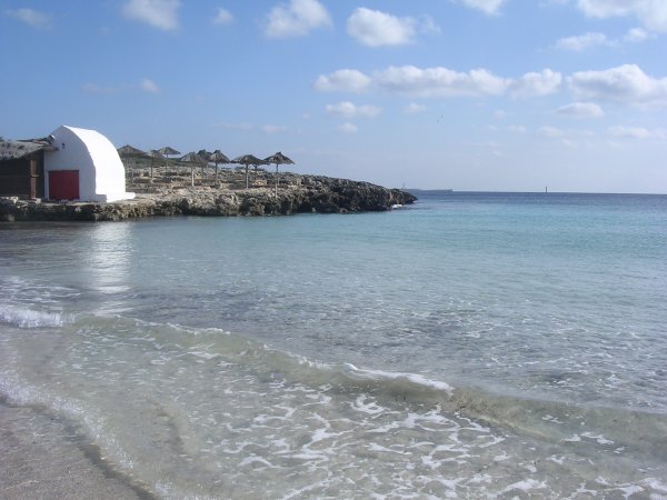
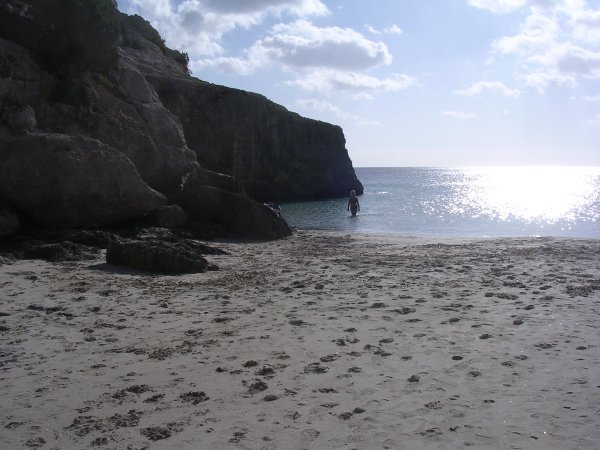
water, so we went ahead to Cala Binibéquer.
And this is Binibéquer. In the center of the picture you
can see the beautiful beach.
Later we learned that all those Bini....places down here on the
south coast, were originally the homes of
Arab sons, when they some hundred years ago lived here. Bini means
'son of '.
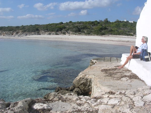
Do I have to say that we really enjoyed this place?
While there, we did not see any other person, but when we left after
having enjoyed the warm clean water a few times,
we met an englishman coming down for a swim and to sit at a quiet
place to read his book.
We enjoyed this so much that we came back again the next day....
So to a much longer trip, this time by car and with two Menorcian
friends

Right: http://www.menorca-net.co.uk/menorca/cala_galdana.php
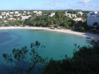
Cala Galdana, a well know touristcenter on the south
coast, just south of the city of Ferreries.
They allways take pictures of the beaches down here during the wintermonths.
That is why the beaches look so big and clean, with no people.
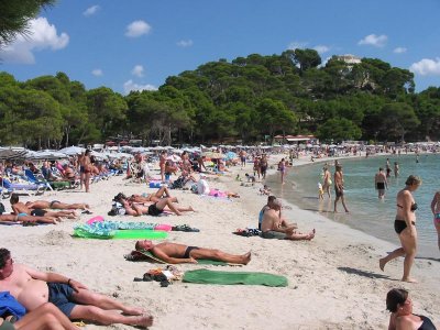
Here you also can see a picture taken during the summer-season.......
That resort was lying in the bottom of this bay. But as we don't
like such resorts, we went outside the town.
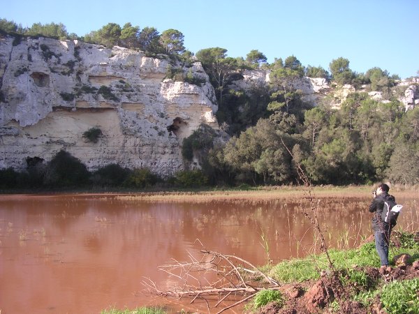
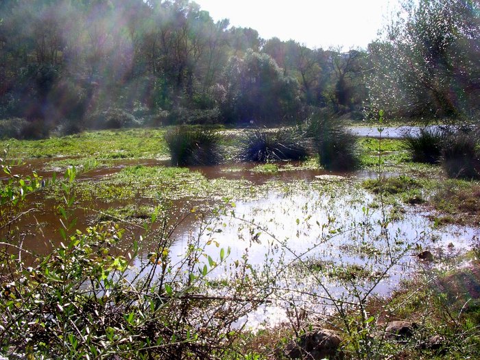
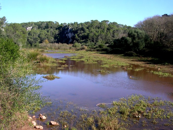
Just outside the town, we are at the end of one of the longest rivers
on the island, and a very long valley called Barranca d'Algendar.
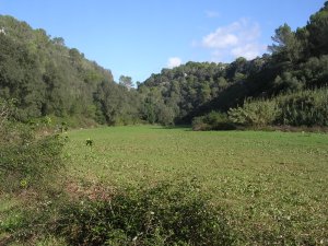
And of course it has to be green around here. A contrast to where
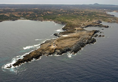
we had been before, up around Es Grau and Cap de Favaritx,
where it was almost deserted, dry and stony.
On the picture to the right you can see bamboo along the small river,
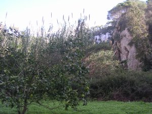
and in between here we could spot trees with Granatapples.
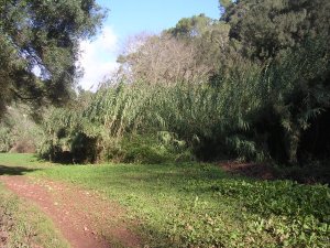
But not long after the valley narrowed in, with this mountainside
on each side of the Barranca.
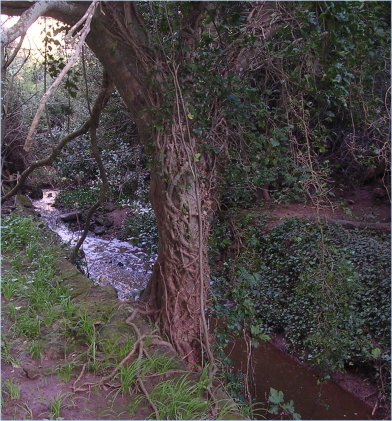
There wasn't much of a river left now, but beautiful sceneries showed
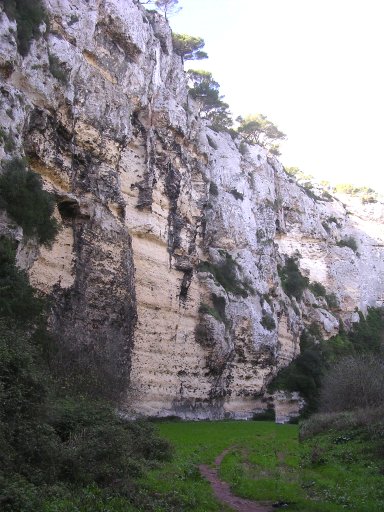
up.
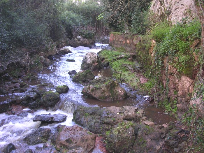
Perhaps should try to paint a picture like this?
or perhaps this one? - A little bit further down on our way back.
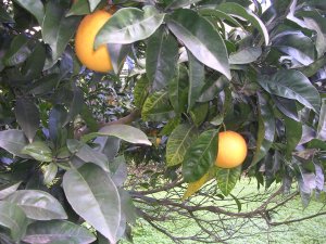
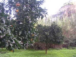
In here was also a left-over garden (?), with orange-
and lemontrees.
Anyway, if you ever get to come down here to Cala Galdana, it is
well worth spending a few hours out here.
There are also, at least in spring and autumn, a lot of various
birds here, and in spring when everything is flowering it must be
some view.
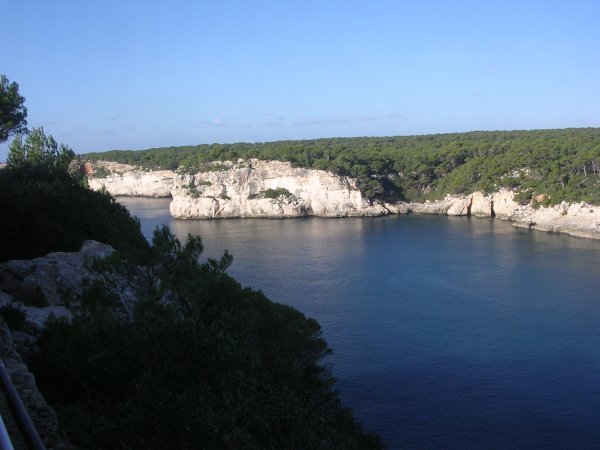
So on the other side of Cala Galdana was of course another small
lonely beach
called Cala Mitjana. Water was just as fine here as back in Binibéquer.
(More pictures to come, as one of our frinds loved to take pictures
with his excellent camera.. Hold on)
Back to previous page
Back to March 2011
Back to start - click here


